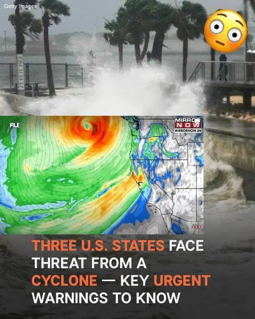
A significant cyclone emergency has been declared along the West Coast as a bomb cyclone threatens to bring intense weather conditions to the region. The storm, characterized by rapid intensification through bombogenesis, is expected to have wide-ranging impacts from Northern California to Washington.
Heavy Rain, Flooding, and Snow
Rainfall ranging from 8 to 12 inches is anticipated, with localised areas potentially seeing up to 15 inches. This deluge could lead to flooding in areas with poor drainage and landslides in regions affected by previous wildfires. Mountain areas, including the Cascades, may receive more than a foot of snow, making travel across passes like Siskiyou and Snoqualmie particularly dangerous.
High Winds and Power Outages
Coastal regions and inland areas alike are bracing for winds between 60 and 70 mph, which could down trees and power lines, leading to outages. Mariners are warned of hazardous conditions with waves reaching up to 26 feet. Residents are advised to secure outdoor items and prepare for extended power interruptions.
Travel and Safety Precautions
Road conditions across mountain ranges will be perilous due to snow and debris, and air travel delays are likely throughout the Pacific Northwest. Experts recommend avoiding unnecessary travel and stocking up on emergency supplies such as food, water, and flashlights. Staying updated through official channels like the National Weather Service is crucial for real-time safety alerts.
Looking Ahead
The storm’s effects will persist through the week, and additional weather systems may follow, keeping the region under active weather warnings through Thanksgiving. Early preparations can mitigate risks and ensure safety during this significant event.
